FAA Part 107 Certified
Fully Insured
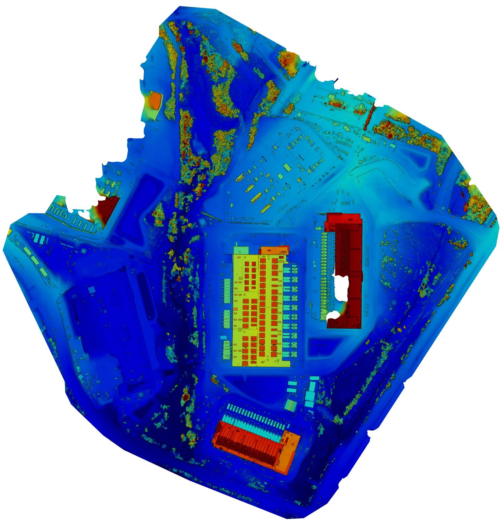
High-Accuracy Data
Serving the Mid-Atlantic
What we do
A partner you can rely on.
Blue Nose delivers commercial drone services to construction firms, infrastructure operators, land managers, and engineering teams across Virginia, Maryland, DC, and the wider Mid-Atlantic.
A repeatable workflow built for accuracy and trust — on time, on budget, and in the formats your team already uses. The drone is the tool. The report is the value.
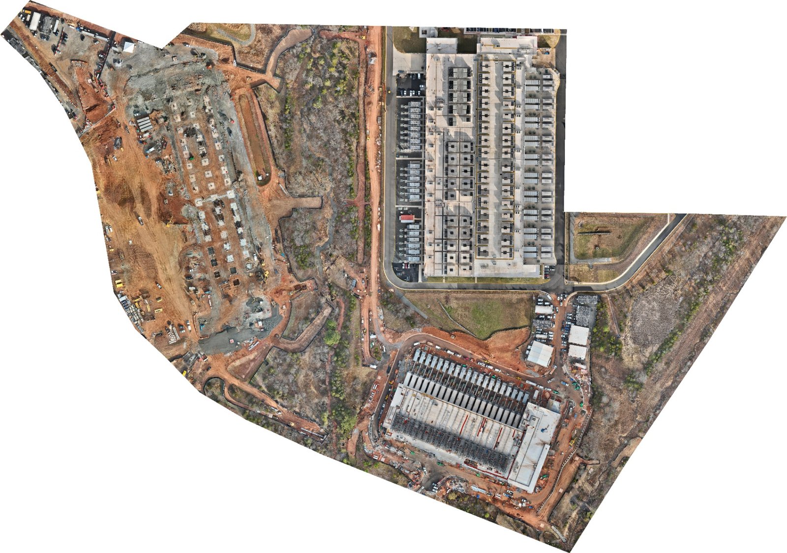
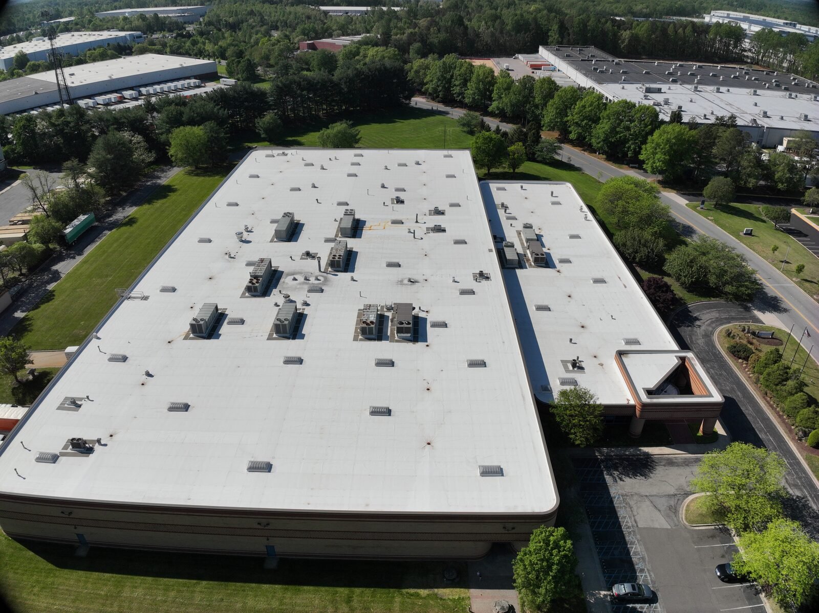
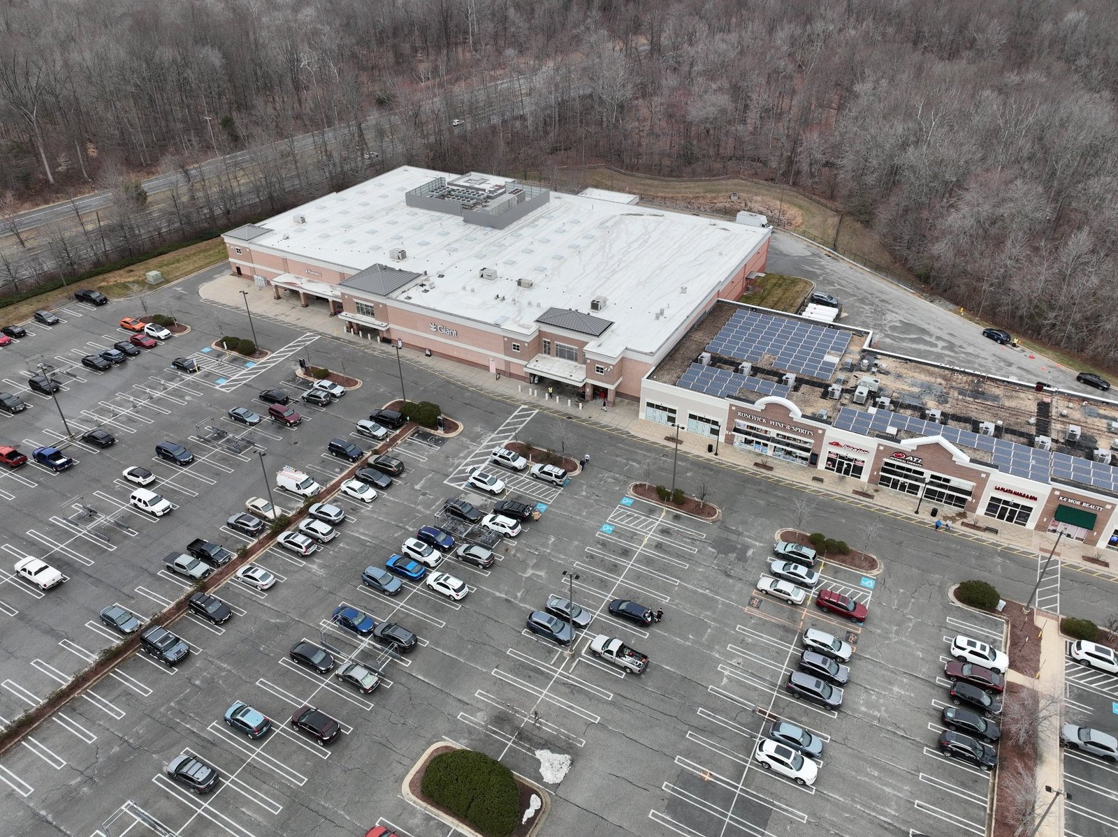
Repeatable angles = measurable progress, not guesswork.
0
Relative accuracy achievable on mapping deliverables
0
Typical turnaround on processed data
0
Licensed & insured flight operations
0
Response to every project inquiry
Our expertise
Four services.
One partner.
How it works
A simple, repeatable flight plan.
01
Tell us about the project
Share the site, the goal, and your timeline. We scope it honestly — no upsells.
02
We plan the flight
Airspace, ground control, and repeatable angles, mapped before we ever leave the office.
03
We capture the data
Commercial-grade equipment, consistent flight lines, and full documentation on every pass.
04
You receive polished deliverables
An owner-ready package, organized and ready to forward as-is. Drop it into your workflow.
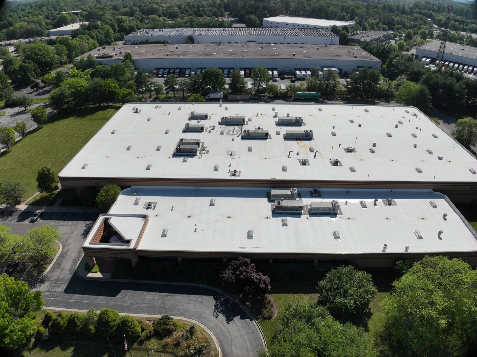
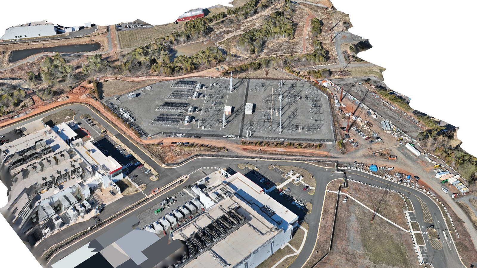
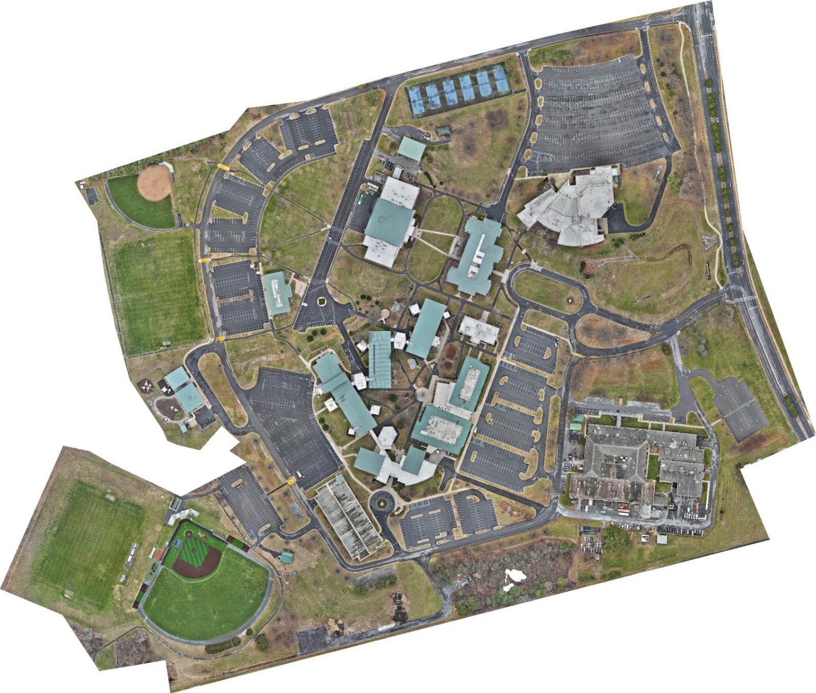
Featured work