Case Study · Golf & Turf

Two courses. One day. 5,800+ images.

How a private club in Connecticut got measurement-ready mapping data for its grounds team and a full aerial photo library for its marketing — from a single flight day, with zero disruption to play.

Plan a Similar Project Read the Story
2
Courses mapped, hole by hole
40+
Pre-planned, repeatable flight plans
5,800+
RTK-tagged images captured
1
Day on site, zero disruption to play
01 — THE ASK

Two teams, two very different needs.

The grounds team wanted a clean overhead baseline of every hole and green — turf condition, drainage patterns, bunker edges — data they could actually measure against, not just eyeball from a cart.

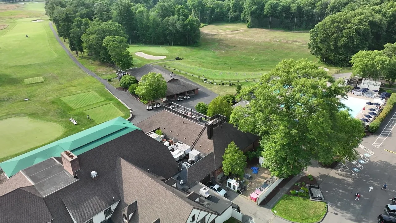
The club side wanted something different: aerial imagery of the property at its best — clubhouse, grounds, and courses — for marketing and member communications.

Usually that's two vendors and two site visits. It doesn't have to be.
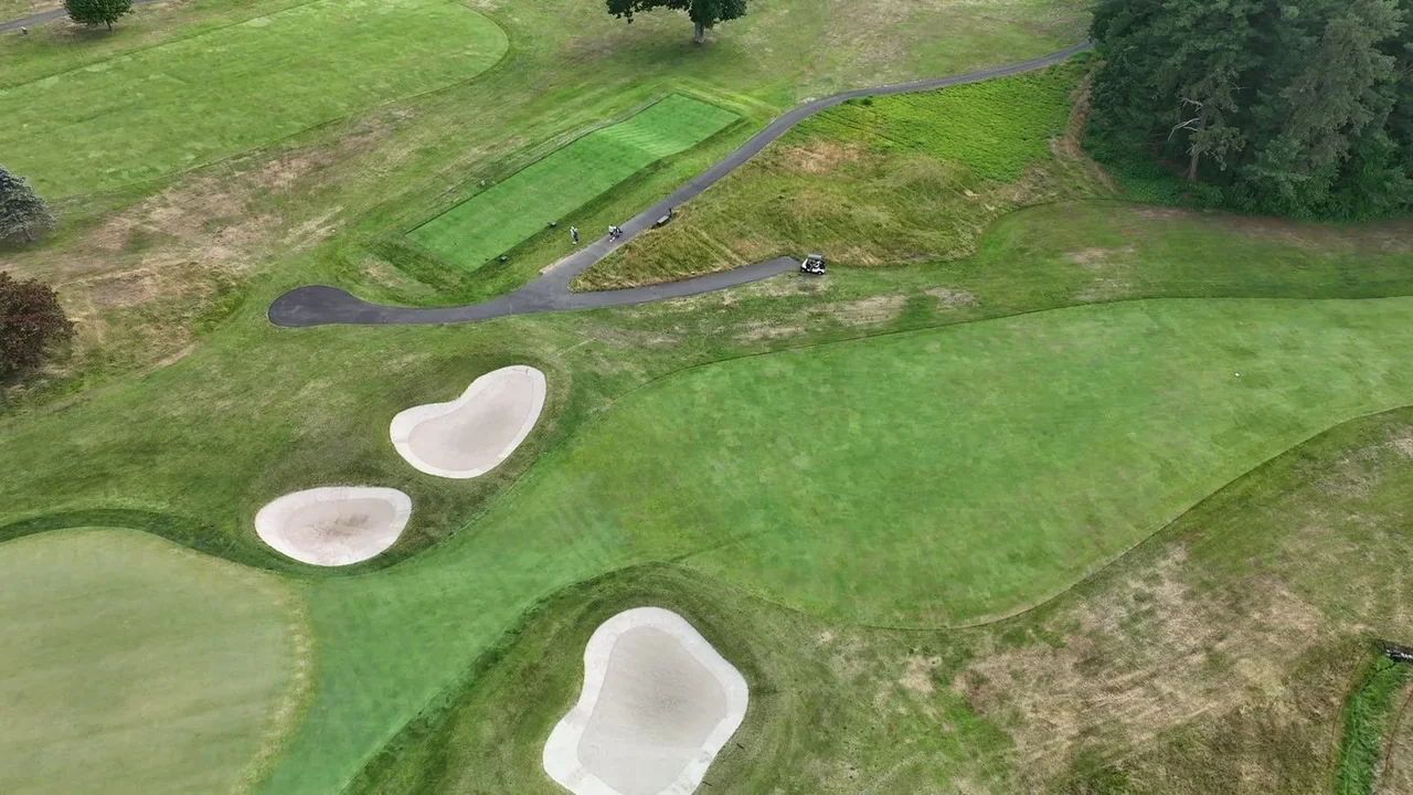
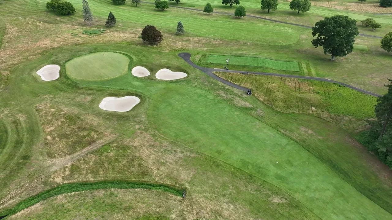
Overhead drone view of tee boxes, bunkers and fairway at a Connecticut golf club
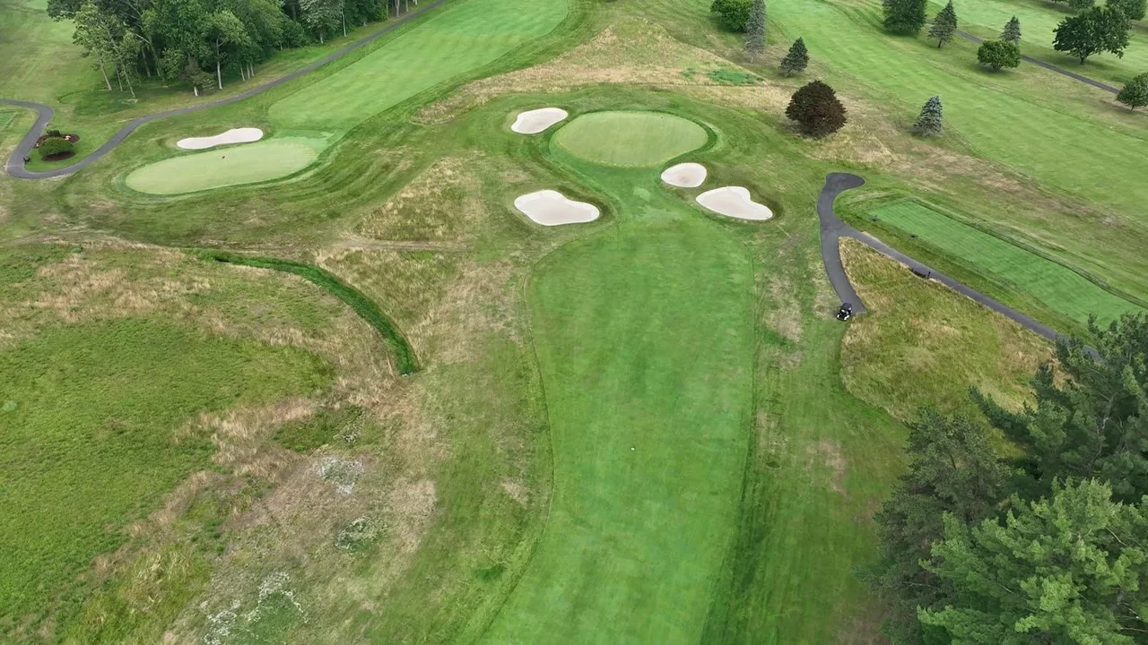
Green and bunker complex captured on a pre-planned drone mapping flight plan
02 — THE PLAN

Every hole got its own flight plan — before we left the office.

This is the Scope step of our S.I.T.E. Method. We built 40+ pre-planned flight plans — one for every hole and every green on the two courses we flew — plus a separate pass for the clubhouse and grounds. Airspace checked, batteries staged, capture order sequenced around tee times.

Why per-hole flight plans matter: they're repeatable. When the club wants next season's baseline, we re-fly the exact same plans — and every image lines up with this year's for a true before-and-after.

Scope it once. Repeat it forever.
03 — THE FLIGHT DAY & DELIVERABLES

One day on site. Two deliverable streams.

Capture ran through a single day — 5,800+ images across 40+ passes, every one tagged with RTK-corrected positioning, worked around play so members never noticed. The club received:

For the grounds team

Per-hole orthomosaics

A stitched, to-scale overhead map of every hole and green — turf stress, drainage patterns, and bunker edges visible in one clean view. Organized by hole, so the superintendent pulls up exactly what's needed. And because the flight plans are saved, the next capture is directly comparable.

For the club

Aerial photo library

A curated library of high-resolution aerial stills — clubhouse, grounds, signature holes — ready for the website, member communications, and marketing. Shot in the same visit, on the same day rate, with no second mobilization.

FROM THE FLIGHT

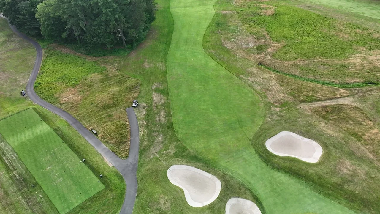
A few frames from the day.

THE TAKEAWAY

The baseline is the asset.

A one-off aerial shoot gives you pictures. A structured, per-hole capture gives you a baseline — the reference every future flight gets measured against. Turf recovery, drainage work, renovation progress: with repeatable flight plans, the change is visible, not debatable.

Explore the services behind this project: Drone Mapping · Aerial Imaging